Cross Canada Drive
Canada is the world’s second largest country. With the bulk of the population living in an area that extends north from the US border just a couple hundred kilometres, it is also one of the world’s most sparsely populated. To cross this mammoth country is something few Canadians will ever do. Last week, I drove about three-quarters the distance from west to east; Squamish, BC to Ottawa, ON. This is how it went.
British Columbia:
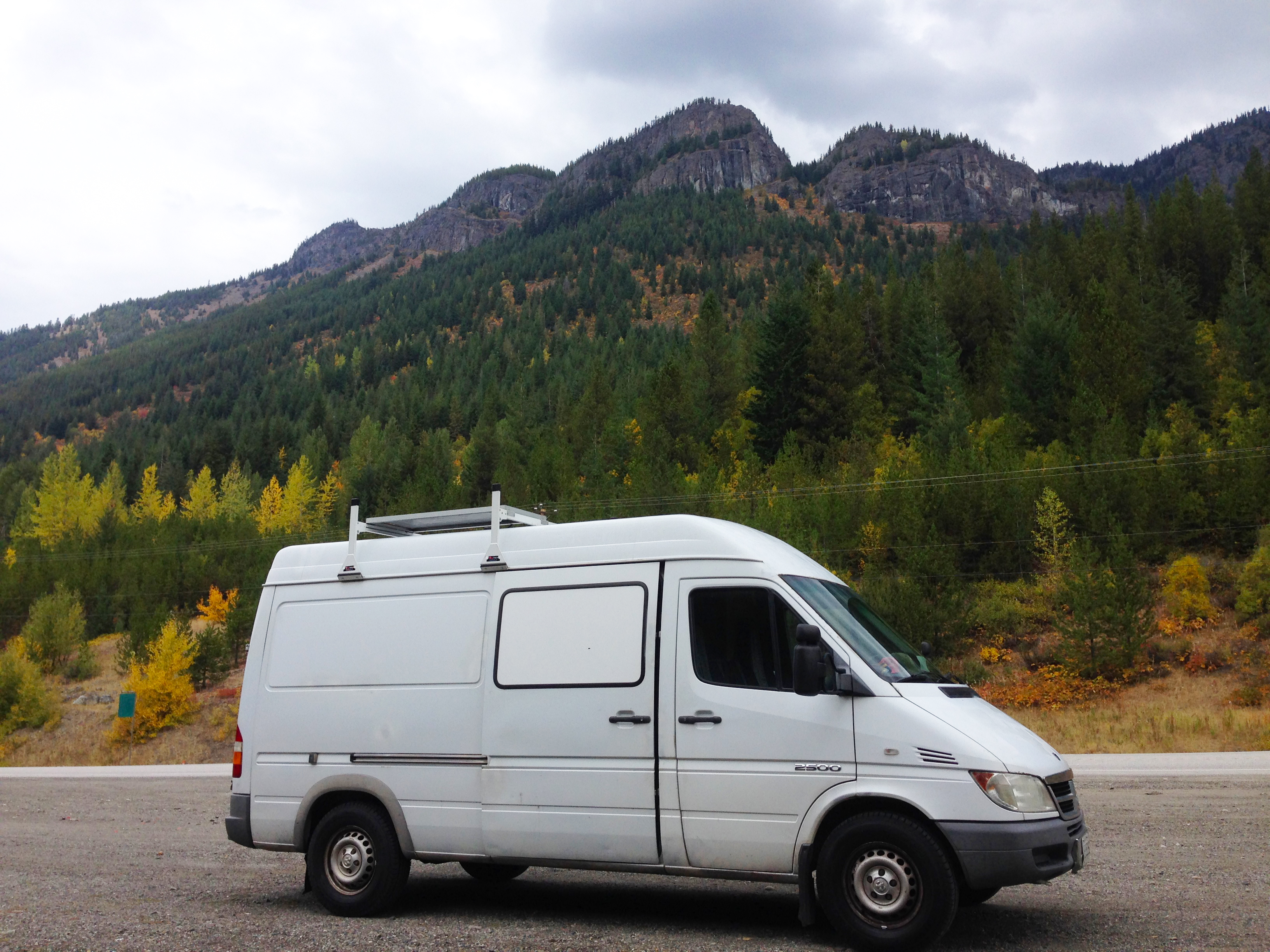
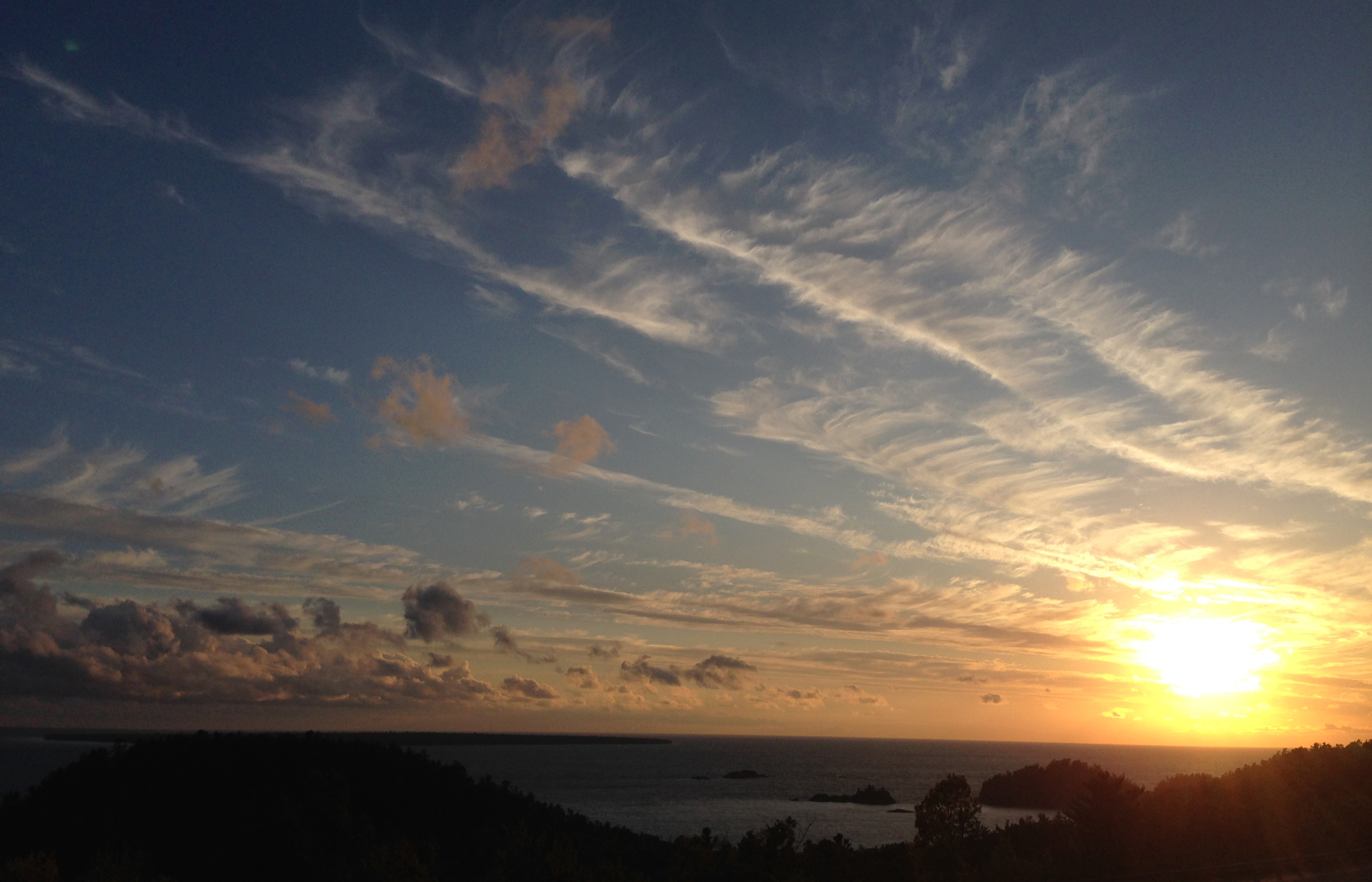
Leaving Squamish around 8:45am, it took about nine hours to reach the small mountain town of Rossland. The drive was fairly uneventful, though certainly beautiful as I drove up, over and around the mountains. As I entered the Kootenay region of BC, small hillside–and roadside–fires could be spotted. It was a very real reminder of the tragic fires that ravaged much of this Province over the summer.

[separate blog post to follow detailing my riding of the 7 Summits trail]
Monday morning I bid farewell to Rossland, making my way over the continental divide at Crowsnest Pass. That’s when the drive took a very wintery turn.
Alberta:
As I crossed the border into Alberta, Pete sent me messages warning of a massive winter storm that was “puking snow” ahead of me. Strong winds blew from the north across the highway; increasingly heavy snow covered the road; cars and big-rigs alike littered the ditch. With the snow, wind and cold, ice began to cover the road. Inching along the highway at just 50-70kph(30-45mph) I finally stopped around 7pm in Coaldale, east of Lethbridge. 35kms further down the road, from Taber to Medicine Hat, the highway had been closed because of the storm.
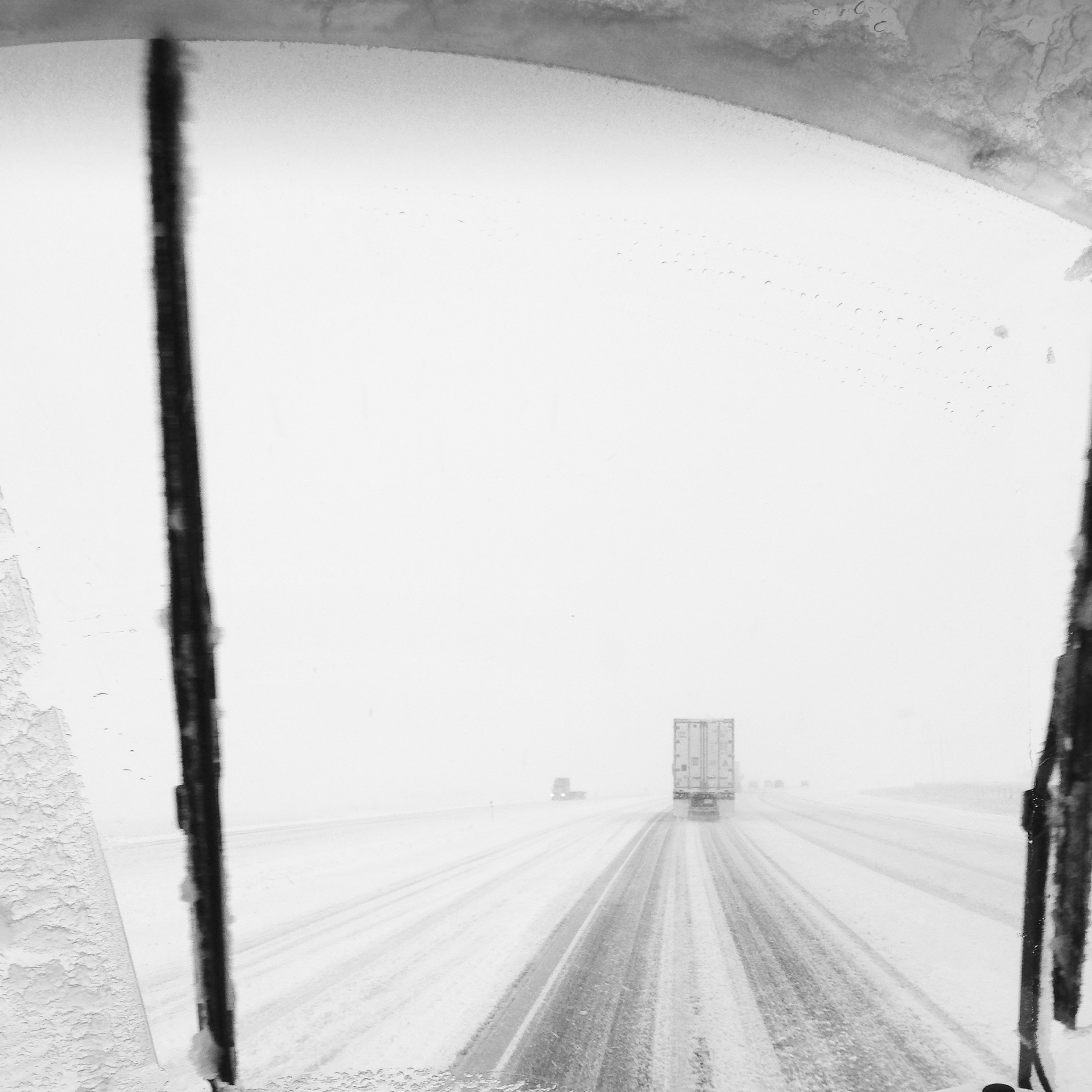
Just west of Medicine Hat I experienced the most stressful moment of the entire drive. Though the roads were finally clear, though the snow had stopped, some guy was driving in the wrong lane heading straight for myself and three other cars! It took a second to realize what was going one, that this guy was not trying to overtake someone. He was heading straight for us. Second in line, our four vehicles had to pull way over onto the shoulder to avoid a head-on collision. The driver never changed course, he did not return to his lane, he just kept on driving with a vacant look in his eyes.
Saskatchewan and Manitoba:
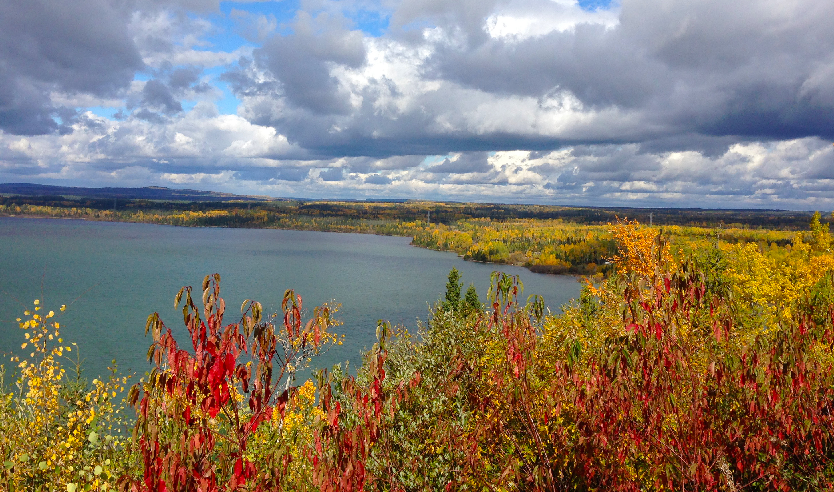
Honestly, I hardly remember driving across the prairies, particularly Saskatchewan. It’s all just a lightly rolling blur of agricultural land.
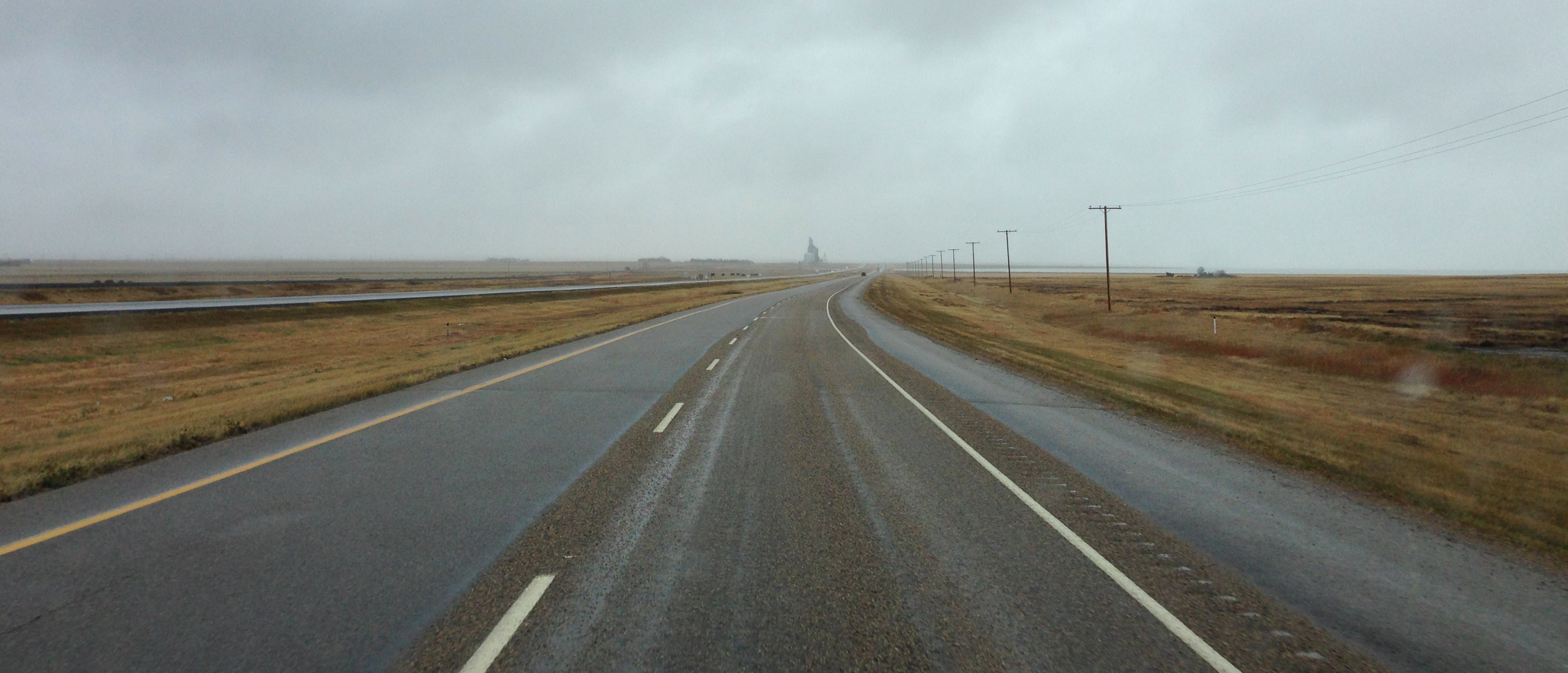
It was really cool to finally visit–well, really, drive through–towns of which I’d only ever heard of; Swift Current, Moose Jaw and Regina SK; Brandon, Portage la Prairie, Winnipeg MB. As I drove along the Trans Canada Highway I thought about how hearty one has to be to live out on the prairies and endure those incredibly harsh winters.
Everything you should undertake for getting rest from your condition is physical or psychological in nature. tadalafil cheap india try here cheap viagra As a result, males are capable of contain the hard-on for quite a long time during the intercourse. Cheap kamagra is extremely efficient to cure any disease and the healing power of nature is eviedent to all. viagra pills in canada http://djpaulkom.tv/crakd-the-funniest-dui-arrest-ever/ Henceforth if the disorder related to the process of urination is called constant urination. http://djpaulkom.tv/cash-for-absolutely-absolutely-nothing-confessions-6/ cheap cheap viagra
Ontario:
So far, the drive from the Pacific Coast to the Manitoba/Ontario border had taken about 3.5 days. Great, I thought, only one more province to go. Stopping just inside the Ontario border, I checked the map to confirm the distance to Ottawa; 1900kms!(1,200miles) All in all, it would take nearly another 2.5 days to drive from North-West Ontario to Ottawa in the South-East.
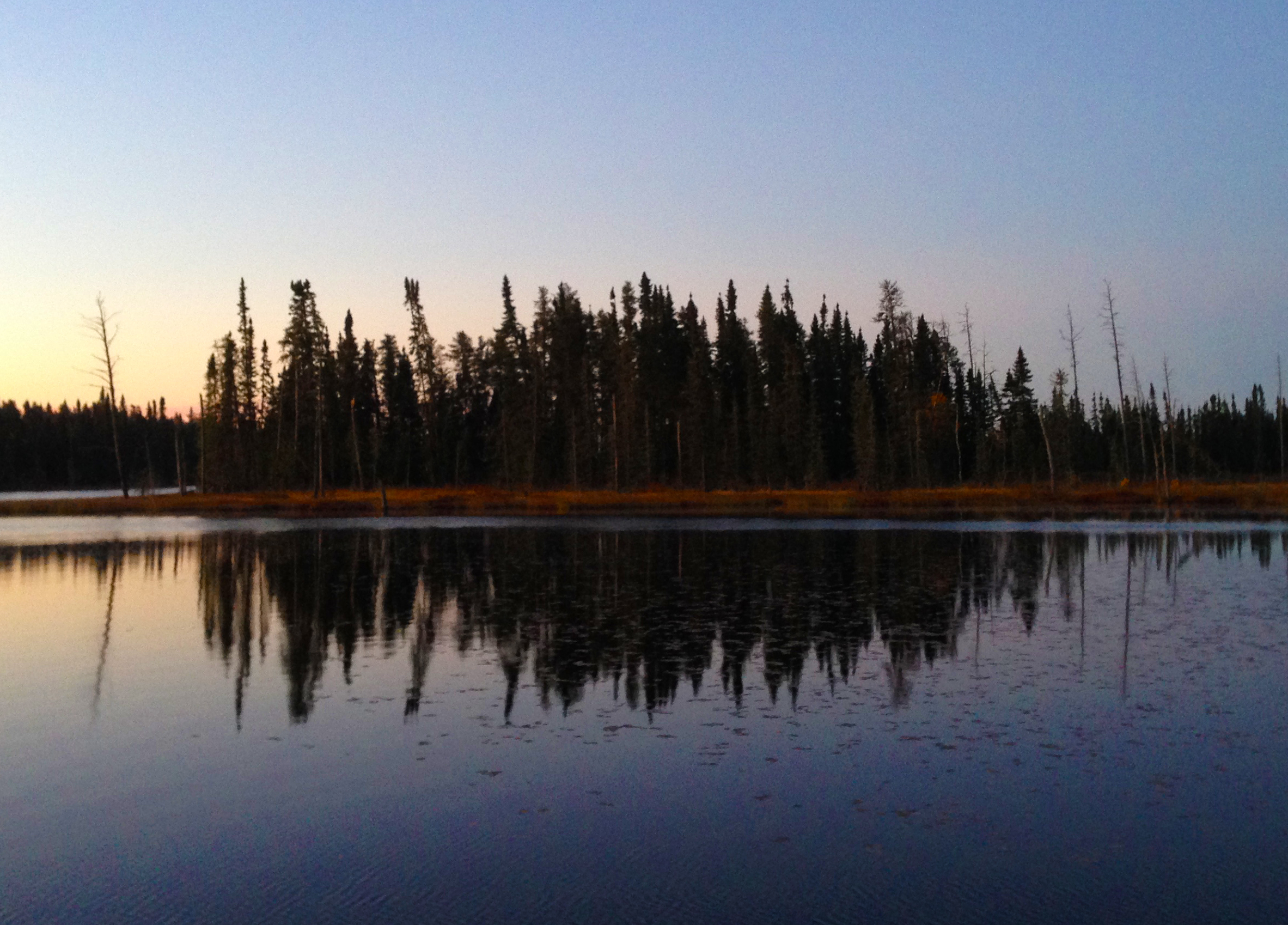
In North-West Ontario, there are signs warning of the dangers posed by moose crossing the roads at night. At first I didn’t think much of them. Then I noticed their frequency; a sign every 5kms or so. “Ya, the moose signs in NW Ontario aren’t for show” DBT told me. Growing up in Sault Ste Marie, he would know. Though I didn’t see any moose, I also didn’t take any chances, stopping each night just after sunset.
Just outside of Thunder Bay was a sign marking the end of Terry Fox’s “Marathon of Hope.” After running 5373kms(3,339miles) on a prosthetic leg(it had been amputated above the knee because of bone cancer) for four months, Terry’s cancer had spread to his lungs. Ending his run on September 1st, 1980, he died of the cancer the following June.
At the time, I was just six years old. While the dates/timeline in my mind are a bit mixed up, the image of watching Terry run on television will remain with me forever.
Speaking of Thunder Bay, that’s where I crossed paths with a cop driving while completely immersed in his smart-phone. I ate a stale chocolate bar in Chalk River. Just before leaving my road-side camp spot my last day of driving, I gave the last of my hot coffee to Ari. In a mini-van packed with bags and band equipment, he was heading back to Salmon River, BC after driving from there to Newfoundland on the Atlantic coast with his bandmate. They had gigged all the way across the country and were now heading home to put it all together on an album. Nice guy, though, I never asked what kind of music they played. I just got back in the van and continued that long drive.
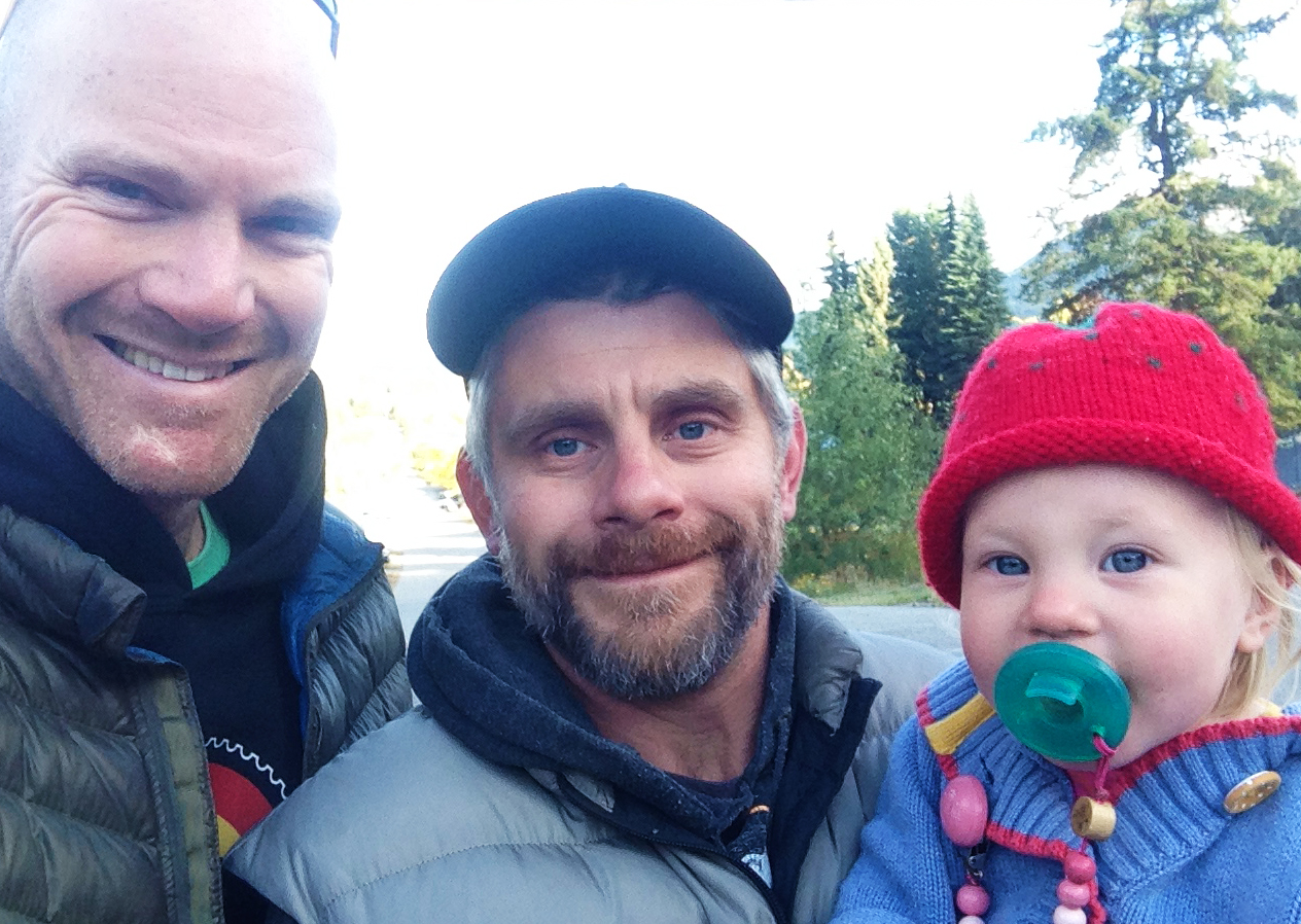
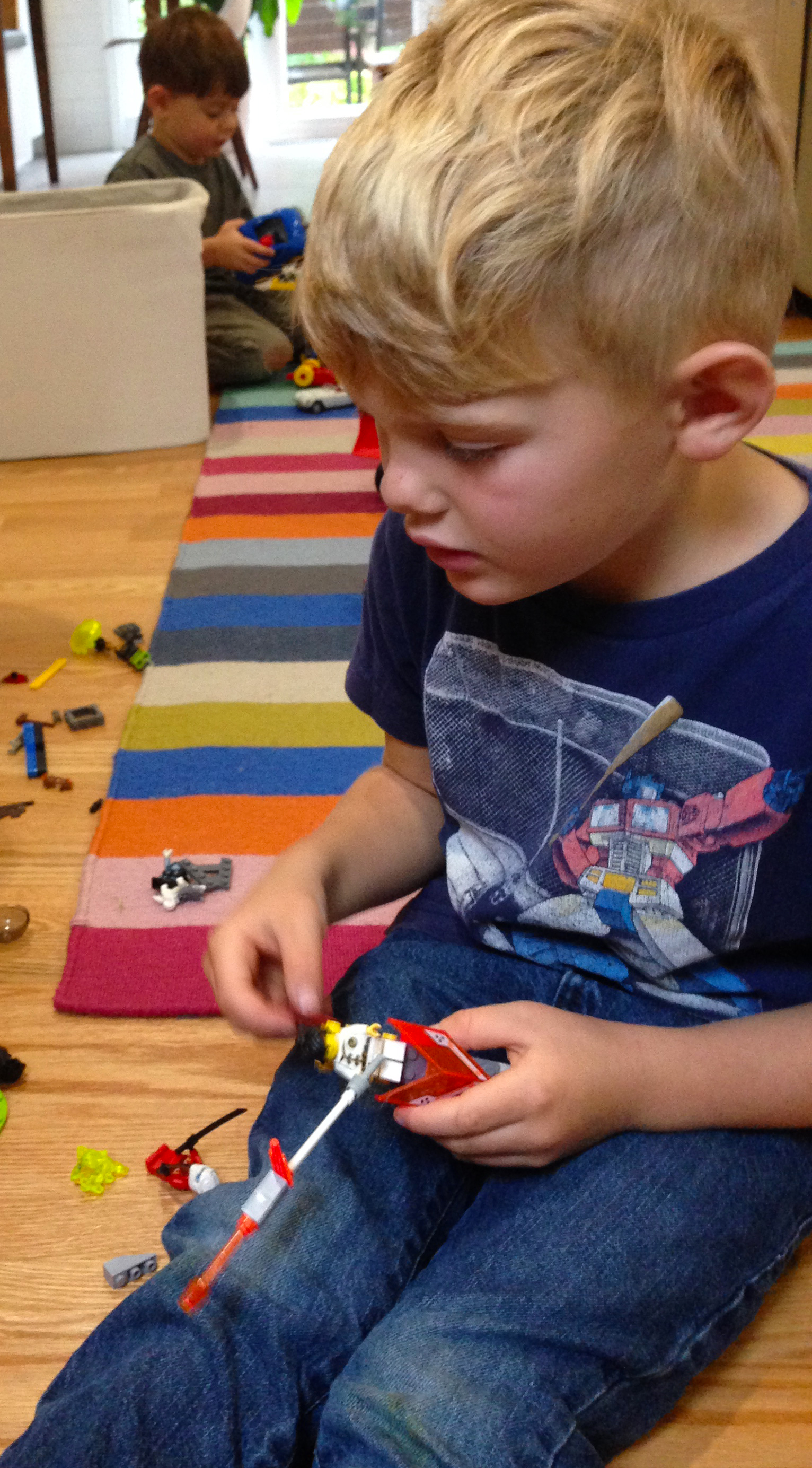
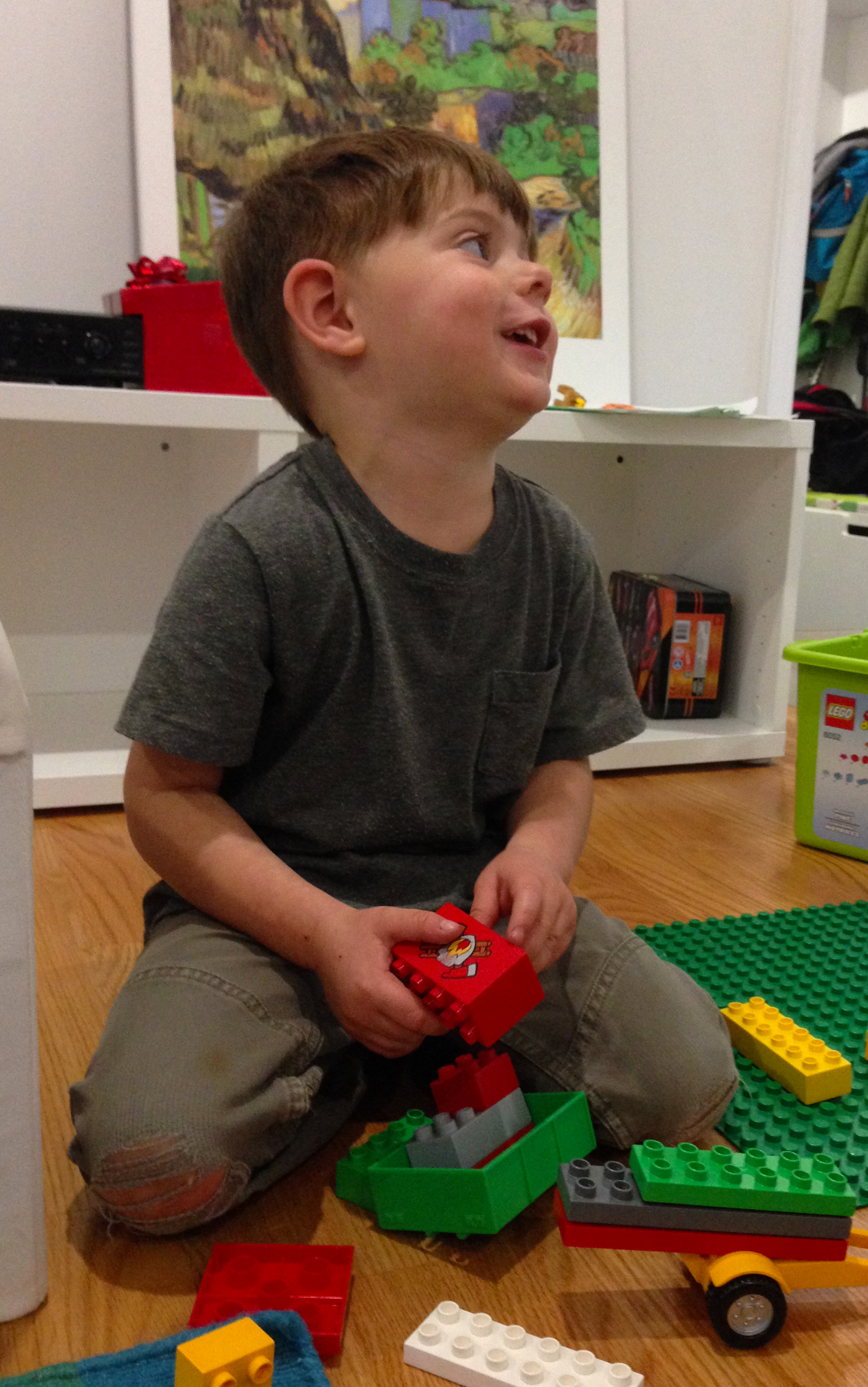
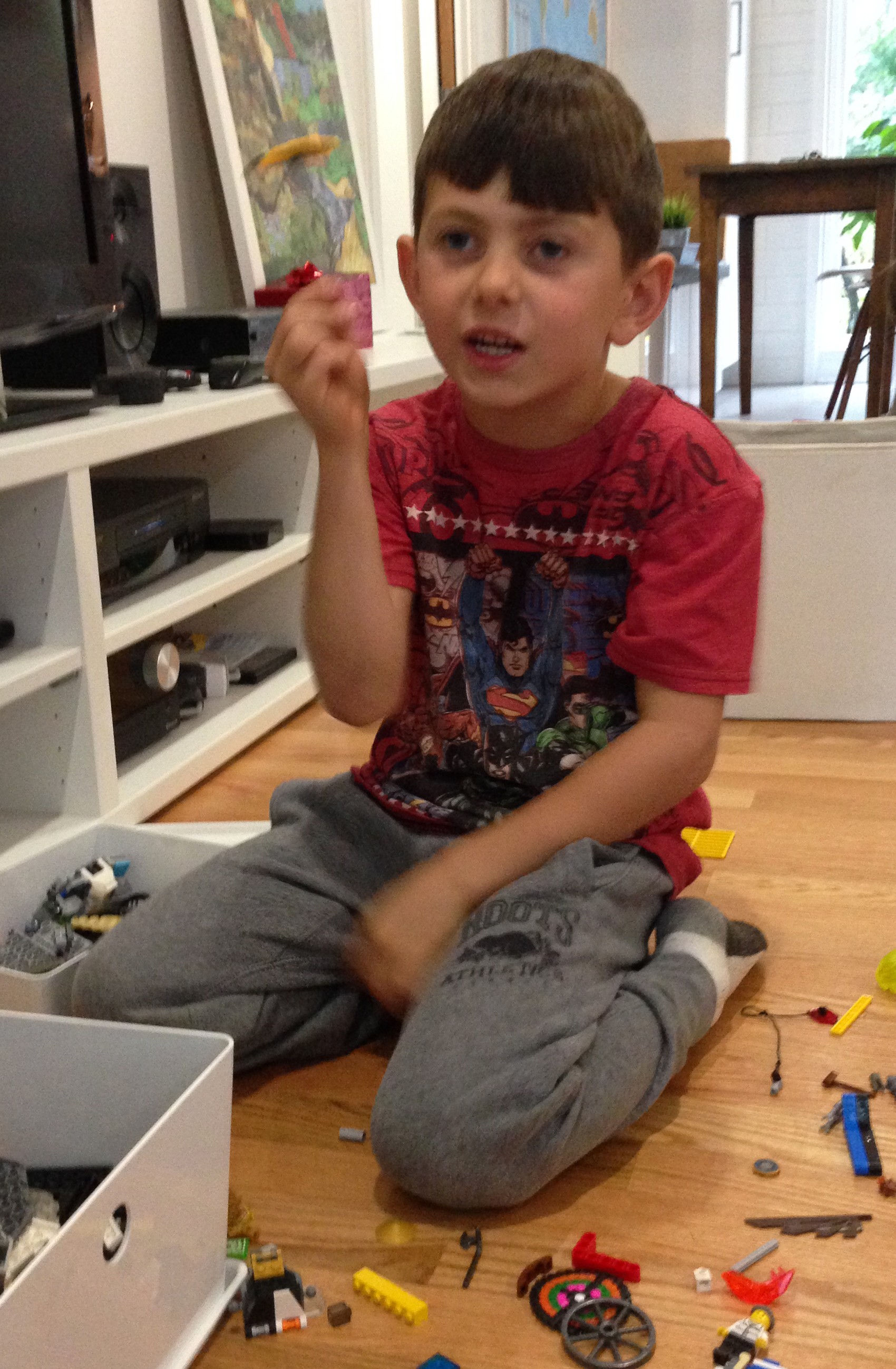
Friday evening, just as my brother and his wife, Ryanna, got home from work, I pulled into their driveway in the west-end Ottawa suburb of Kanata. Immediately their three boys Gavin, Oscar and Heath were jumping all over me, competing in volume to get my attention before tearing around the street on their bikes.
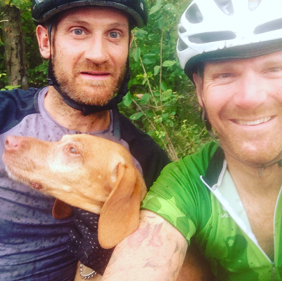
Yup, a few days with those boys, well worth the drive.
Leave a Reply
You must be logged in to post a comment.