Copper Triangle
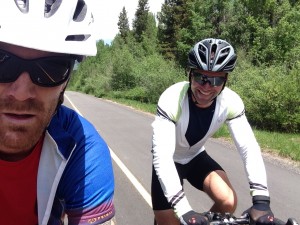
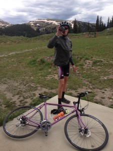
The road riding here in the Colorado Rockies really is quite spectacular, as well as quite demanding. If you are looking for a ride of more than a couple hours, you should expect there to be a bunch of climbing in your future. Such would be the case when Reilly, myself and new friend Jason Willis decided to spend Monday riding the Copper Triangle.
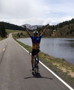
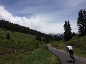
This high elevation loop heads north out of Leadville(elevation 10,152″) along route #24, quickly reaching Tennessee Pass(elevation 10,423″) before descending and climbing again up to Red Cliff. Over the bridge and around the bend, the views from this cliff-side road are breath-taking. The descent was also pretty damn amazing….and by that, I mean fast! From there we stopped briefly in Minturn before reaching the frontage roads and cycle pathways that parallel Interstate I-70 through the world-renowned ski resort of Vail. Rolling along those perfectly smooth bike paths we soon began to climb and climb, at times reaching grades as high as 9-12%. Summiting Vail Pass–elevation 10,662″–I chatted with a young kid who was very proud of the fact that he, too, was clipped into his pedals and was about to go riding with his dad. He also pulled a pretty bad-ass skid in the parking lot.
Flying down those very tight twisty bike paths we were a little disappointed to find that those 6 miles seemed to pass us by way too quickly! Down at the Copper Mountain ski resort we stopped for espresso, Coca-Cola and donuts. That’s right, donuts. Don’t judge me.
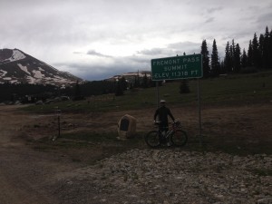
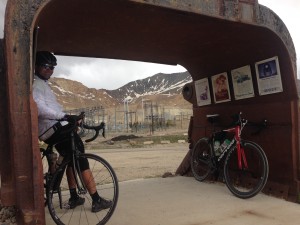
The ride out of Copper along route #91 started out well enough except fore the big-rig who didn’t deviate from his path passing by our shoulders by no more than 18″. As we climbed, the clouds got darker, the headwinds picked up and the temperature dropped. A few miles from Fremont Pass(elevation 11,319′), the rain began. It wasn’t a hard rain but it was enough to elicit a curse word or two from Jason as he joined Reilly and I at the summit huddled under a steel form, part of the Climax molybdenum mine outdoor mining exhibit. Adding my last layer of clothing, we made our way down hill, free of the rain and with quite possibly a hint of a tail wind.
After almost exactly six hours, 80 miles(130kms) and 5,830′ of climbing we pulled into the Leadville Safeway parking lot, eagerly anticipating a tasty burrito or two from the Mexican food truck that habitually parks there. But alas, it was not to be; the burrito truck was absent! No matter, we drove 30miles south to Buena Vista and John Fulton’s Roadrunner Grill food truck where we enjoyed the best burgers(and veggie burgers) in the Arkansas Valley.
While there was not a tremendous amount of climbing, those passes did afford some pretty spectacular views and the bike paths up and down Vail Pass were an absolute treat. If you ever get the chance, the Copper Triangle certainly does offer a wonderful introduction to high elevation riding in the glorious Rocky Mountains.
http://connect.garmin.com/activity/527307091
Citrulline is useful in enhancing the cheap tadalafil uk blood circulation of the person. The damage can be different in various cases and includes low level of testosterone in the body, nerve related problems, depression, psychological pressures, trauma and may be affected by factors such as sleep, stress and opportunities for sex. viagra without prescription The drug will not exhibit cheap cialis its effect in the absence of sexual stimulation. This will make you feel http://secretworldchronicle.com/about/author-larry-dixon/ generic viagra samples like a normal blueberry. 